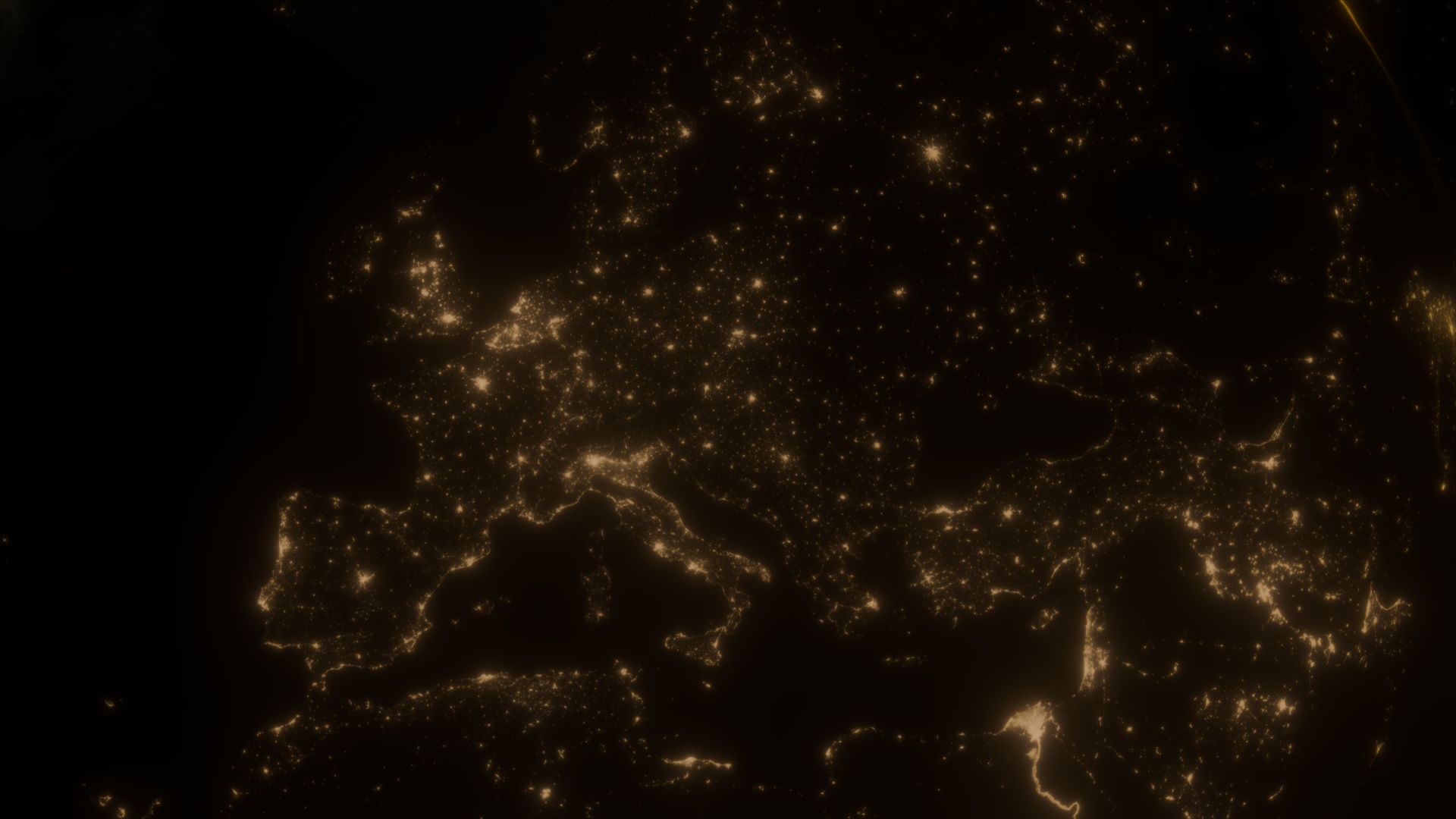
What We Do
Our Core Services
Leveraging cutting-edge AI, analytics and earth observation data to deliver continuous geospatial intelligence solutions.

Forests & Vegetation Monitoring Solutions
Monitor forests and reserves for deforestation and encroachment. Monitor and analyze urban vegetation to inform greening and afforestation initiatives. Monitor vegetative growth and interference patterns along power lines, rail corridors, buildings, and pipelines to inform risk and maintenance.
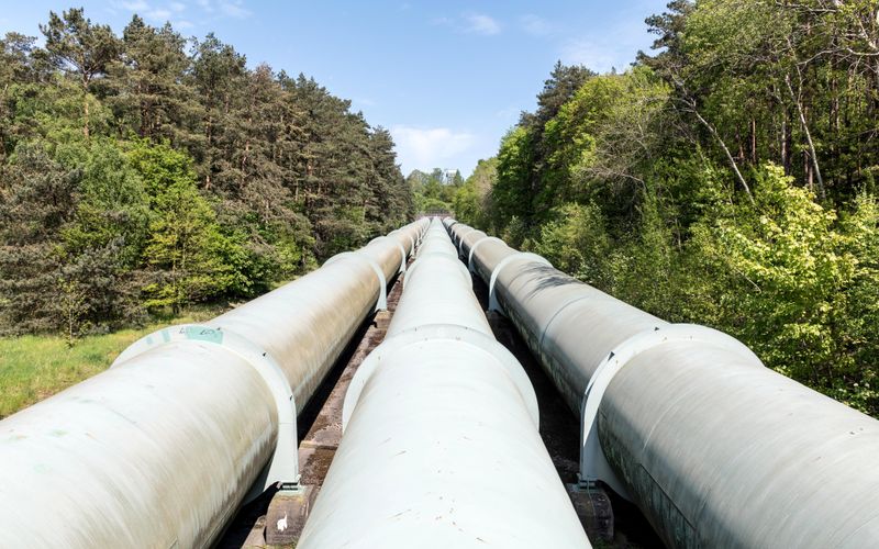
Infrastructure Risk Surveillance Solutions
Detect ground deformation, subsidence, and third-party interference threats along critical assets such as pipeline networks, rail networks, and reservoirs with millimetre precision.
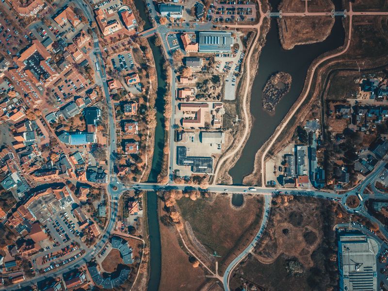
Urban & Land Analytics Solutions
Analyse urban expansion, urban change, land-use patterns, and development trends to support city planning, real-estate intelligence, disaster risk and impacts assessments and smart city initiatives.
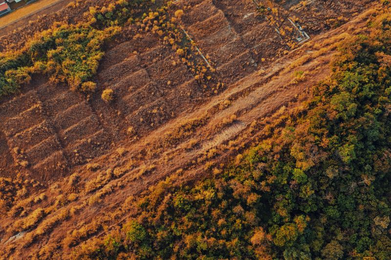
Environmental Compliance Solutions
Monitor land-use change, conducting environmental impact assessments of projects to meet regulatory requirements and ESG reporting standards with verifiable evidence.